NOTE: Much of the content for this blog has shifted to the Ultimate Direction Blog. There you will find Trip Reports and essays from Anton Krupicka, Peter Bakwin, and occasionally myself and Scott Jurek. Below is an exception – this Adventure Running Blog has featured excellent info on The Maze, and this report adds more.
April 11-14, 2013. Canyonlands NP and Robbers Roost, Utah. 107 miles, 4 days. Backpacking – Peter Bakwin and Buzz Burrell.
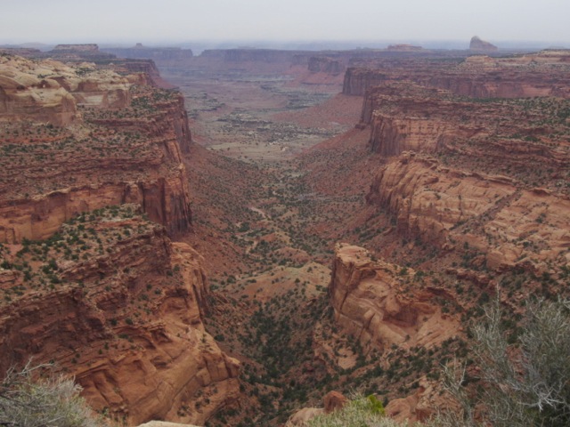
The Maze is one of my favorite places in the world. “So near yet so far” – it’s in the middle of Utah, yet is probably the most remote spot in the lower 48. Not much water and tricky navigation mean it’s expert-only terrain, but the rewards are obvious: beautiful scenery, usually excellent weather, and extraordinary solitude: we saw mostly footprints in 107 miles covered over 4 days.
I’d been here many times, but always alone; this time I met my frequent partner-extrodinaire, Peter Bakwin, for a route that combined the Maze Loop with another loop through the even more remote Robbers Roost country, hiking the length of Happy Canyon (thus the name of this route), and exiting up through Sams Mesa Box Canyon to close the loop.