Archive for July, 2009

Multi Day Update

July 30, 2009

“I DIDN’T FAIL” – David Horton on the Colorado Trail

David, the multi-day king, wanted to go out on a good note after a sour day on the CDT last year. He and Jonathan Basham came to Colorado to train and acclimate for three weeks; their preparation was good.

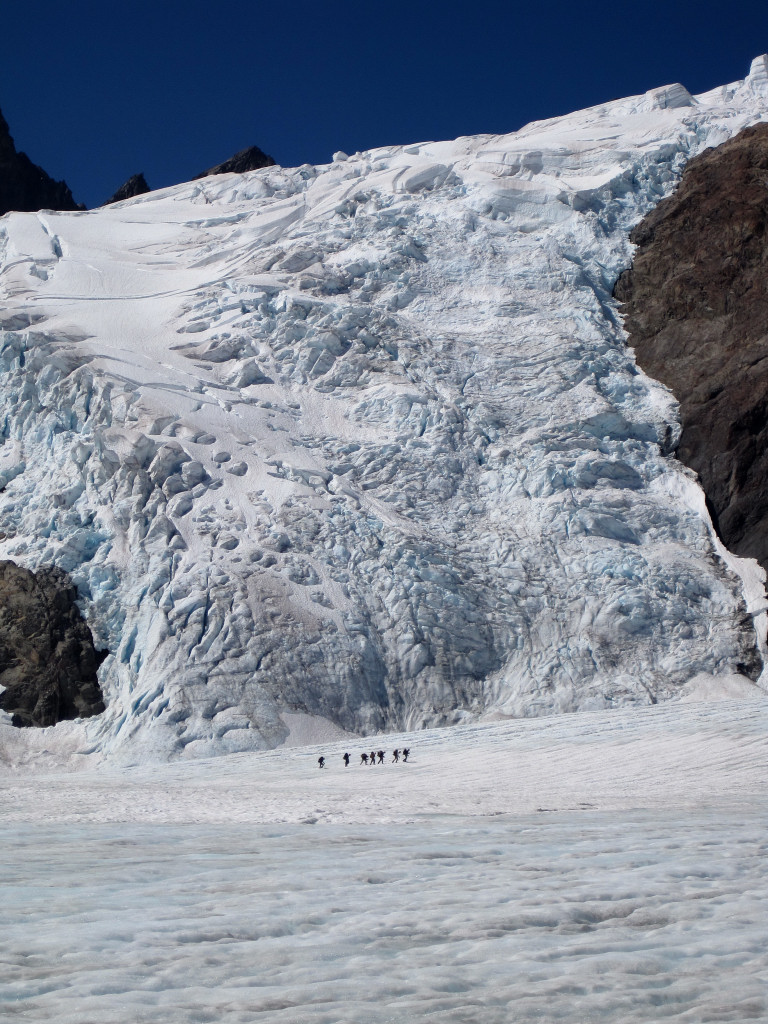
I was thus taken aback when David’s smiling face greeted me at the Grouse Gulch aid station during the HR100. He was in excellent spirits, looked good, and it was great to see him. He had called it quits after 6 days – oddly while still right on schedule for the record – but with mounting issues that clearly precluded continuation.

His blog has an excellent account, excerpted here:

DH“Going after the CT record might have been my most difficult multi-day attempt so far. The CT record is very TOUGH. The trail itself was tougher than I thought it would be. I averaged 40 miles per day on the PCT and AT and 45 miles per day running across America. Averaging over 54 miles per day on the CT was VERY tough. I started very day before daylight, usually around 4:00 AM and finished every day after dark. My average time on the trail was around 17 hours per day. This left very little time for anything. I was usually in bed 30 to 45 minutes after finishing each day. Each day, the last section ATE my lunch. It took everything that I had to finish each day. I never knew at night if I would be able to go again the next day.”

“Day 6 should have been an easy day but it was not. We got lost before daylight and ran 4 miles off course. Later in the day it was very hot and the dry heat started sucking the life out of me. In the middle of the days my hands started swelling, sausage fingers you say. I have had them before but NEVER as big as they got this time. In the last section of the day, I became very concerned about them and how big can they get before damage occurs. On the back of my hands, the skin stuck grossly very high. My forearms started swelling all the way up to my elbows. It was getting tighter and tighter. How big can they get?? What damage can occur?? I was also thinking about the next day as it was going to be the toughest day yet, over 60 miles with one road crossing. I knew the possibility that if I got in trouble in this section that I would put myself and my crew in a serious problem. I knew then that I must stop. Could I have run the next day? Yes. Could I have caused myself or others some serious problems? Yes.”

(more…)

Ptarmigan Traverse FKT

July 30, 2009

Colin Abercrombie and I completed the Ptarmigan Traverse in 14:36 from the Cascade Pass parking lot to the Downey Creek trailhead, a new FKT. In 2008, Colin and I did the traverse in 18:10 so we were extremely happy to do it 3 hours and 34 minutes faster this time. The prior FKT was by Joe Stock and Andrew Wexler, who completed the traverse in 15:40 on September 4, 2004 (or 2001? or 2002?). A complete trip report with detailed splits, comparisons, and photos is here.

Alternatively, the movie can be watched on Vimeo (faster stream).

Since the upper part of Cascade River Road was closed for repairs due to a washout from severe thunderstorms we got an extra warm-up period and set out from Eldorado TH at 3 am reaching Cascade Pass TH in 55 minutes (the road should be repaired by now). We started the watches at 3:55 am at Cascade Pass TH and reached the Suiattle River Road at 6:31 pm. This was followed by an additional 8.5 mile walk along the road due to the old washout on the Suiattle River Road bringing the total mileage for the day upwards of 50 miles and nearly 13,000 ft of elevation gain. A big concern was the potential for extreme heat along the traverse and descent through Bachelor Creek. Seattle set the all time temperature record of 103 degrees the day after our traverse and it has been HOT in the lowlands. Fortunately, there was a cool breeze on all of the glaciers and cumulus clouds provided some shade as we descended Bachelor and Downey Creeks.

White Rock Lakes

White Rock Lakes

(more…)

Clark Mountain

July 23, 2009

Clark Mountain is located in the Glacier Peak wilderness of north-central WA. It is a great non-technical climb with excellent views of the Dakobed Range, Glacier Peak, and the Napeequa Valley.  The climb starts at 2,300 ft in the White River Valley (not to be confused with the White River near Mt. Rainier) and tops out at 8,502 ft. The shortest route to climb the mountain is right up from the White River Valley (~16 miles RT), but the fastest route is probably the Boulder Creek route (~23 miles RT) which utilizes trails leading all the way up to 6,000 feet. The trails also allow for more running (except in the sections where they are not brushy and overgrown). I chose the Boulder Creek route and was able to reach the summit 3:34 after beginning. After 16 minutes on top, I made the return trip in 2:54 (6:44 roundtrip). The climb entailed about 23 miles and 7,000 feet of elevation gain. See many more photos on the complete trip report!

View from Clark Mountain summit

View from Clark Mountain summit

View of Clark Mountain (center) from Fortress Mountain (August 2008)

View of Clark Mountain (center) from Fortress Mountain (August 2008)

See the complete trip report here. A couple videos after the jump!

(more…)

Mount Olympus FKT

July 18, 2009

I climbed Mount Olympus in 11 hours, 6 minutes round trip. This is the new fastest known time (FKT) on the mountain, breaking my own FKT from July 31, 2007 by 24 minutes. I went solo and the climb was unsupported. I started at 3:10 am and finished at 2:17 pm (miraculously, the same real time that I finished in 2007). Aside from a few minor differences (ladder downclimb on avalanche chute before Glacier Meadows; softer and slower snow conditions), everything from the weather to route conditions were essentially the same as in 2007. Check out the complete trip report with detailed splits, time comparisons, photos, and video clips here.

Blue Glacier and the Mount Olympus massif

Blue Glacier and the Mount Olympus massif

At 7,965 feet, Mount Olympus is the highest point in the small Olympic mountain range in Washington State. However, its close proximity to the Pacific Ocean produces a tremendous amount of annual snowfall accumulation in the winter and relatively mild summers resulting in immense glaciers. Mount Olympus is wild and remote requiring 45 miles roundtrip to climb it and over 8,000 feet of elevation gain.  The start of the climb is in the world famous Hoh Rainforest (573 ft above sea level), one of the few temperate rainforests in the world, recieving between 12 to 14 feet of rain per year!  After nearly 19 miles on the trail, the sweeping views of the Olympus massif and the Blue Glacier suddenly appear from the crest of the glacial moraine. From here, Olympus is primarily a standard glacier/snow climb with a short scrambling portion on the summit block.

Sweet shot for perspective

Sweet shot for perspective

Be sure to check out the complete trip report!

Clyde Minaret – Rock Route

July 14, 2009

Clyde Minaret is the highest point of the rugged Minaret group of peaks near Mammoth Lakes. I have wanted to climb in the Minarets since I first viewed them from the summits of Mount Ritter and Banner Peak in 2007. There are 17 minarets in all, but most of them are rarely climbed. The rock is of volcanic origin making it poor quality compared to the solid granite found elsewhere in the Sierra. The Rock Route on Clyde Minaret, however, is relatively solid partially explaining why it is the most popular route in the Minarets. While the Rock Route  is the easiest route up to the summit, it still involves exposed class three scrambling and a class 4 downclimb near the top. I reached the summit 5:03 after beginning, took 15 minutes on the summit, and returned in 4:27, for a total roundtrip of 9:45. Check out the complete trip report for a collection of 40 photos from the trip!

The Rock Route on Clyde Minaret

The Rock Route on Clyde Minaret

Since I had climbed Mount Sill in the Palisades the previous day, I was hoping for a shorter outing, but the route up Clyde Minaret proved to be involved with quite a bit of scrambling and spicy snow/ice sections. In addition, there was over 9 miles of trail (18+ miles RT) to cover in order to reach the start of the climbing portion. The good news is that long sections of this trail were great for running. All in all, this was a delightful outing with spectular scenery virtually the entire way and excellent visibility made for some awesome photography!

Alpenglow over Mount Ritter and Banner Peak from Shadow Lake

Alpenglow over Mount Ritter and Banner Peak from Shadow Lake

Complete trip report here. Video after the jump!

(more…)

Mount Sill – North Couloir

July 13, 2009

Last Wednesday I drove 6+ hours to the eastern Sierra with big mountains on my mind, specifically Mount Sill and the Palisades (full trip report here). At 14,153 ft, Mount Sill is the sixth highest summit in California and the second highest in the rugged Palisades group. The peak is known as the best viewpoint in the Sierra with spectacular views in every direction. The route I chose was the North Couloir via the North Fork of Big Pine Creek. The route is neither the shortest nor the easiest, but arguably the most scenic (and in fairness, all the routes are long). On the 10 mile approach I passed through a chain of lovely alpine lakes with Temple Crag towering in the background and was treated to sweeping views of the Palisade Glacier, the largest glacier in the Sierra Mountains.

Temple Crag from Second Lake

Temple Crag from Second Lake

The climb took 10:45 to complete (5:23 up, 27 minutes on top, and 4:55 down). There was a surprising amount of snow remaining, particularly an icy patch covering the exposed class 3/4 traverse section above the couloir which required attention. In addition, I didn’t get a chance to acclimate before the climb so I am sure the upper sections were more sluggish than they could have been. Check out the full trip report with many photos!

Palisade Glacier Panorama (Mount Sill on the left)

Palisade Glacier Panorama (Mount Sill on the left)

After the jump, view a couple videos, the first from the terminus of the Palisade Glacier and the second from the summit of Sill.

(more…)